No. 01 · 1850–1900
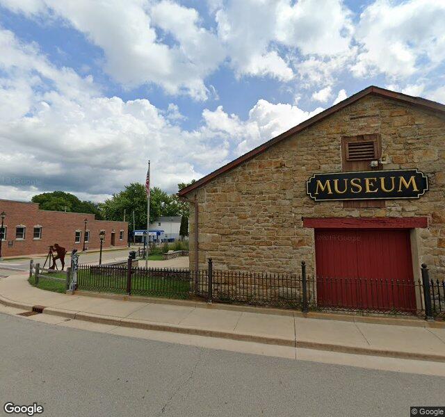
LaSalle County Historical Society
Six buildings on the I&M Canal
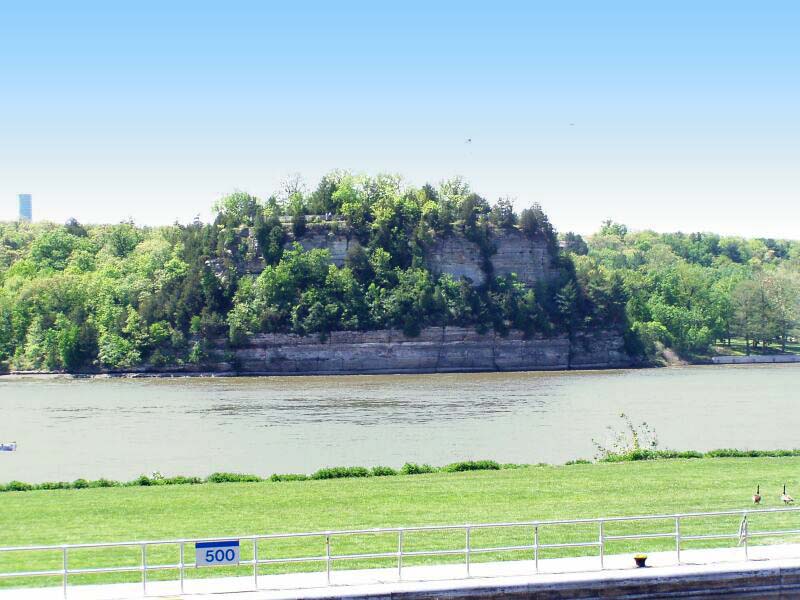
The Canal Warehouse — the centerpiece of this six-building campus on the I&M Canal — was a working transshipment station when LaSalle was the western terminus of the canal that connected the Mississippi to the Great Lakes. Steamboats from New Orleans unloaded molasses, sugar, coffee. Canal boats from Chicago brought lumber, stoves, eastern fashions. Today the campus holds the most important regional archive in the Illinois Valley — including the Native American collection from the Zimmerman Site, just across the river.
Canal · Rail